A significant and potentially prolonged heat wave is affecting a large portion of the United States this week, with federal forecasters warning of dangerous conditions across the central and eastern parts of the country that have placed approximately 60 million people under some form of heat-related alert as of Monday morning.
The National Weather Service issued extreme heat warnings across the Midwest and South, covering major cities including Chicago, St. Louis, Kansas City, Milwaukee, Minneapolis, and Nashville. Extreme heat watches were simultaneously in effect across a separate set of metropolitan areas including New York City, Boston, Providence, Detroit, and Memphis, with the distinction between the two alert levels reflecting where dangerous conditions are actively underway versus where they are considered likely to develop.
What the alerts mean and who is most at risk
Federal heat alert designations carry specific meanings that are important for residents to understand when deciding how to respond. An extreme heat warning indicates that dangerous heat is either occurring or imminent, requiring immediate protective action. An extreme heat watch signals that dangerous heat conditions are possible in the coming days, giving residents and local authorities time to prepare.
Heat watches covered a broad section of the South and Midwest in addition to the warning and watch zones across the Northeast, reflecting the geographic scale of this week’s event. The combination of elevated temperatures and high humidity is the defining characteristic of the most dangerous heat episodes, because humidity reduces the body’s ability to cool itself through perspiration, making conditions feel substantially more severe than air temperature alone would indicate.
The numbers behind the forecast
Forecasters described temperatures in the 90s and lower 100s Fahrenheit across much of the affected region as the baseline expectation for this week. When humidity is factored into the heat index calculation, the apparent temperature felt by the human body rises significantly above those air temperature readings. In portions of the southern Plains, the Mississippi Valley, and the Mid-Atlantic, heat indices are expected to reach between 105 and 115 degrees Fahrenheit during the peak hours of each day.
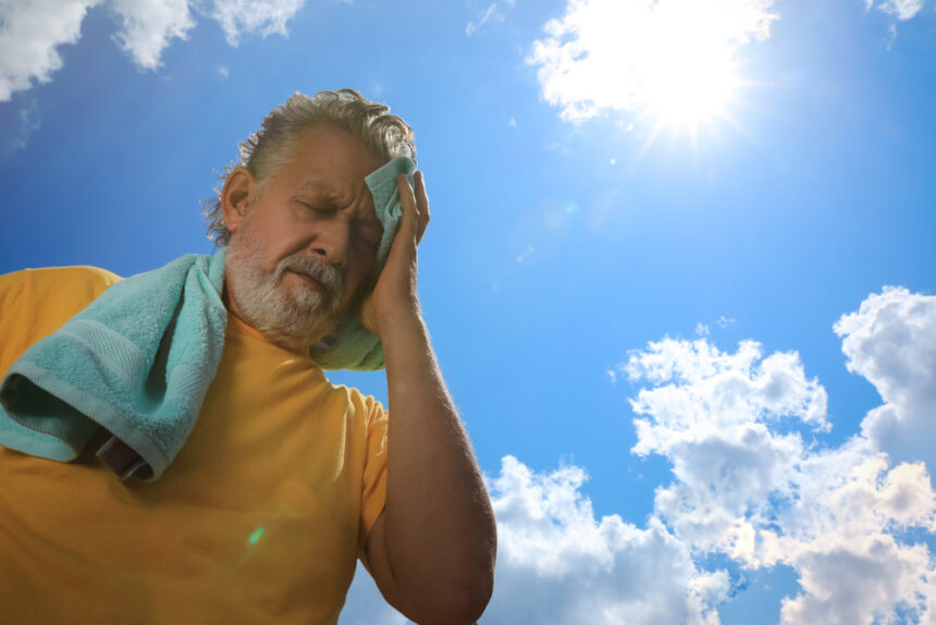
The overnight period typically provides some recovery time during heat waves, allowing the body and the built environment to cool before the next day’s heat builds. This week’s event is expected to limit that relief considerably, with overnight temperatures in many affected areas dropping only to the mid to upper 70s Fahrenheit. Consecutive nights without meaningful cooling create compounding risk, particularly for elderly residents, people without air conditioning, outdoor workers, and individuals with underlying health conditions.
Protective measures and what residents should do
During prolonged heat events of this magnitude, public health officials consistently recommend several protective steps. Staying in air-conditioned spaces during the hottest hours of the day, typically between late morning and early evening, provides the most effective protection against heat illness. Drinking water regularly without waiting to feel thirsty helps maintain hydration in conditions where the body loses fluids rapidly through sweating.
Checking on neighbors, particularly elderly individuals living alone, is a community-level protective measure that has been shown to reduce heat-related deaths during major events. Many cities in the affected region have opened cooling centers as public resources for residents without reliable air conditioning at home.
The National Weather Service advised that the heat wave would be both long and dangerous, language that reflects the combination of duration, intensity, and the limited overnight relief that together make this week’s event more serious than a brief temperature spike.