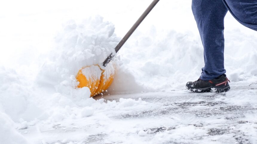
A late-season snowstorm is making its way toward the Colorado Rockies, and for a state that has spent months watching its snowpack shrink to historic lows, the timing feels significant. The National Oceanic and Atmospheric Administration’s Weather Prediction Center projects up to two feet of snow in Colorado’s highest elevations between late April and early May, with lighter totals expected across parts of Wyoming and Montana.
The forecast is welcome. Meteorologists are clear that it is not enough.
What Colorado’s snow drought actually looks like
The 2025 to 2026 season delivered some of the lowest snowpack readings in Colorado’s recorded history. According to Joel Gratz, a meteorologist with OpenSnow, snowpack was near or at record lows across most of the state for most of the winter. The storm arriving this week will contribute something, but it will not break the drought.
Brian Fuchs of the National Drought Mitigation Center described the season in even starker terms, noting that some locations in Colorado recorded their least amount of snow ever measured for a full season. The northwest part of the state is currently experiencing exceptional drought, the most severe classification used by meteorologists, and parts of Colorado have not seen consecutive months of above-normal precipitation since 2024.
AccuWeather meteorologist Tom Kines confirmed that the incoming storm and whatever precipitation follows over the next two weeks will offer limited relief in the near term and will not make a meaningful dent in the long-term drought.
Late-season snow in Colorado is normal, but the situation is not
Snow arriving in May is not unusual for Colorado’s mountains, which regularly see significant snowfall through at least the middle of the month. What makes this season different is how little the state received in the months before it. Additional accumulation between April 28 and May 7 could range from six inches to two feet depending on elevation, according to Gratz.
Fuchs added a complicating factor: warmer temperatures this time of year make it harder for snow to accumulate and persist at lower elevations, which limits how much of the incoming precipitation actually contributes to seasonal totals for the highest peaks.
What the missing snow means for water this summer
Snow in the mountains is not just a winter weather phenomenon. It functions as water storage, holding moisture at elevation and releasing it gradually into rivers, streams, lakes, and reservoirs through the spring and summer as it melts. In an arid region like the American West, that stored moisture is how many communities, farms, and ecosystems make it through the dry months.
This season, much of that stored water never accumulated. Fuchs noted that the snowpack has already largely melted out ahead of schedule, meaning the usual surge of water into surface systems this summer will not materialize at normal levels. Irrigation providers across the state have already begun notifying customers that deliveries will be reduced. Water restrictions are a real possibility in the months ahead.
Gratz described the stakes plainly: a lack of water affects plants, animals, agriculture, and people. The effects of a drought this severe do not resolve quickly, even when storms arrive.
Is there any reason for optimism?
Some meteorologists are pointing toward the second half of summer as a potential turning point. An emerging El Niño pattern could bring wetter-than-average conditions to parts of the region this spring, summer, and fall. Kines pointed to late June and July as a period when several rounds of thunderstorms could provide meaningful relief.
For now, the snowstorm arriving this week is real and measurable. For a drought that has been building through an entire winter, it is a start, not a solution.