

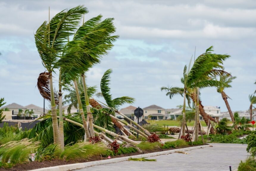
Hurricane Isaias strengthened from a tropical storm late Wednesday and is moving toward the Gulf Coast, with a hurricane watch now covering a stretch of coastline from Indian Pass, Florida, to Bay St. Louis, Mississippi.
What is under watch?
A hurricane watch applies from Indian Pass to Bay St. Louis. A tropical storm watch extends further west to the Jefferson and Plaquemines Parish line in Louisiana and further east to the Aucilla River. Anyone inside either area should treat preparation as something to finish today rather than begin later.
What does a watch actually mean?
That conditions are possible within 48 hours. A warning, which may follow, means they are expected within 36. The watch stage is when outdoor preparation is still safe to do and when evacuation decisions are made with time in hand, which is why it matters more than the stronger sounding warning that comes later.
Where is it and how strong?
Roughly 420 miles south southwest of the mouth of the Mississippi River as of the overnight advisory, with maximum sustained winds near 80 mph and higher gusts. That makes it a Category 1. These figures come from a 4 a.m. advisory and will have changed by the time most people read this.
Why is this the first hurricane of the season?
Because the season has been extraordinarily quiet. Hurricane Isaias is the first of 2026 after 130 days without one, which forecasters describe as the slowest start since the satellite era began about 60 years ago. It also comes close to a record for the latest first Atlantic hurricane that has stood for more than a century.
Does a quiet season mean a safe one?
No, and this is the part worth understanding. Seasonal activity counts say nothing about individual impact. A single landfalling storm on an unprepared coast causes more harm than a dozen that stay at sea, and a quiet season can leave people less ready than a busy one would have.
What is the particular risk here?
Water on ground that has already had it. Florida declared an emergency for 25 counties on Tuesday, citing recent heavy rainfall that has saturated soils. Saturated ground absorbs very little, so additional rain runs off immediately, and flash flooding can follow rainfall totals that would otherwise be manageable. A Category 1 storm can produce far more damage through water than its wind rating suggests.
What should people do now?
Finish preparations rather than start them. Several days of water, food and medications, charged devices, fuel in vehicles, and a clear plan for where to go if an evacuation order comes. Know your evacuation zone, which your county publishes. Never drive through a flooded road. New flood insurance cannot help with this storm, since policies carry a waiting period and insurers stop writing them as a named storm approaches.
Where should updates come from?
The National Hurricane Center, which issues advisories every six hours with intermediate updates when conditions change, and county emergency management, which issues evacuation orders. Everything here reflects early Wednesday and will be superseded.