Melting ice could send water levels rising fast — residents have until Friday to prepare
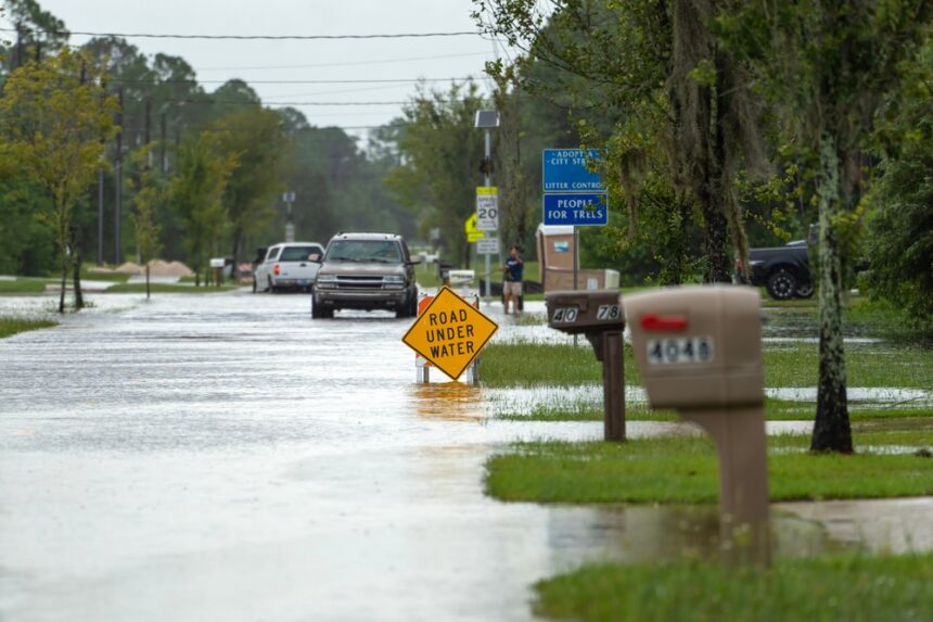
A flood watch is in effect across 10 counties in western and central Pennsylvania through Friday afternoon, as warming temperatures threaten to break up ice on rivers and streams in ways that could send water rushing into roads, neighborhoods and low-lying areas with very little warning.
The National Weather Service issued the watch Thursday morning, effective from 1 p.m. Thursday through 1 p.m. Friday. Meteorologists are specifically concerned about ice jams — a less familiar but particularly unpredictable flood trigger that does not require rain to cause serious damage. Just melting ice, a narrow bend in a river and the wrong conditions at the wrong time.
What an ice jam actually is — and why it moves fast
Ice jam flooding works differently from the kind most people picture. When temperatures drop low enough for rivers and streams to freeze and then rise again, chunks of breaking ice can pile up at narrow passages, bends or shallow stretches of waterways — forming a natural dam. Water backs up behind it. When that dam eventually gives way, the release can be sudden and significant, moving faster than a conventional flood with considerably less notice.
The counties in this watch spent recent weeks in freezing temperatures that allowed ice to form and thicken across multiple waterways. Now that warming conditions are arriving, the stage is set for jams to develop, break and create rapid water level changes in communities that may not have seen rain in days.
The 10 counties under the watch
The flood watch covers Westmoreland, Fayette, Indiana, Venango, Forest, Lawrence, Butler, Clarion, Jefferson and Armstrong counties. The affected area spans a broad stretch of western and central Pennsylvania, with river valleys, ridges and areas near multiple creek and stream systems facing the highest exposure. Residents in flood-prone locations within these counties should be monitoring conditions closely and preparing now rather than waiting for conditions to worsen.
Understanding what a flood watch actually means
A flood watch is not a guarantee that flooding will occur — it means conditions exist that make flooding possible, and that residents should be ready to act quickly if it does. It sits below a flood warning, which signals that flooding is imminent or already happening and requires immediate action. Above both of those is a flash flood warning, the most urgent alert issued when sudden violent flooding is occurring or about to begin, sometimes with only minutes of notice.
If the National Weather Service upgrades Thursday’s watch to a warning before Friday afternoon, the required response time shortens considerably.
What to do right now
For anyone living near rivers, creeks or streams in the affected counties, preparation during a watch window matters more than most people realize. Charge devices now in case power goes out. Move important documents and valuables to upper floors. Assemble or check emergency kits covering water, non-perishable food, flashlights, batteries and basic first aid supplies. Know your evacuation route before you need it.
If water begins rising, move to higher ground immediately and follow any evacuation orders from local authorities. Do not walk through floodwaters — six inches of fast-moving water is enough to knock an adult off their feet. Do not drive through water covering a road regardless of how shallow it appears. Most flood-related deaths involve vehicles, and 12 inches of moving water is enough to carry away most cars.
Anyone trapped by rising water should get to the highest point available and call 911. Monitor local news and the National Weather Service for updates, as conditions during ice jam events can shift quickly once movement begins.